
The name sounds dramatic, but it's really shorthand for a stubborn observation problem. Researchers aren't ignoring the mesosphere on purpose. They simply lack the tools to watch it continuously, the way they do the layers above and below it. This article breaks down where the mesosphere sits, why it's so hard to reach, and what new approaches, including some surprisingly small ones, might finally close the gap.
Key Takeaways
- Nicknamed the "ignorosphere," the mesosphere spans roughly 50 to 85 kilometers above Earth's surface, between the stratosphere and thermosphere.
- Conventional aircraft and balloons can't operate there; satellites orbit above it, leaving a persistent access gap.
- Sounding rockets, radar, lidar, and experimental sunlight-powered microprobes are starting to close that gap.
- Better mesospheric data sharpens meteor science, climate models, and space-weather forecasting.
What Is the Mesosphere?
Earth's atmosphere stacks up in five layers: troposphere, stratosphere, mesosphere, thermosphere, and exosphere. The mesosphere sits third from the ground. "Meso" means middle: the layer gets that name from its place in the atmospheric sequence, not from splitting the distance to space in half.
Boundaries and conditions:
- NOAA places the mesosphere at approximately 50 to 85 kilometers (31 to 53 miles) above sea level, directly above the stratosphere.
- Air density drops sharply with altitude here, thinning to a fraction of what you'd find at ground level.
- Temperatures plunge near the mesopause, the layer's upper edge, sometimes dropping below -90°C (-130°F) depending on season and latitude.
- Despite the thin air, there's still enough gas for meteors to heat up, glow, and burn away as they streak through.
Mesosphere vs. Geospace
You'll sometimes see "geospace" used instead of mesosphere, but they aren't interchangeable. Geospace is the bigger umbrella term, covering the mesosphere, thermosphere, ionosphere, and the near-Earth space environment beyond. Think of the mesosphere as one specific neighborhood inside that larger district.

Why Do Scientists Call the Mesosphere the "Ignorosphere"?
"Ignorosphere" isn't an official scientific term. It's an informal, slightly self-deprecating nickname researchers use to describe a region that gets far less continuous attention than the layers above and below it.
The Access Problem
The core issue is simple geometry mixed with hard physics:
- The mesosphere is too high for routine aircraft or weather-balloon flights.
- The mesosphere is too low for the kind of stable, long-duration satellite orbits used to study the thermosphere and beyond.
- That leaves a band of atmosphere that most conventional platforms simply skip over.
This doesn't mean the region is a total black box. Sounding rockets, satellites, ground-based radar, lidar, optical instruments, and atmospheric models have all produced real mesospheric data over the decades. The problem is consistency, not absence.
Snapshots, Not Streams
Most existing mesospheric measurements are exactly that: measurements, not monitoring. A sounding rocket might capture a detailed vertical profile during a ten-minute flight, then leave nothing behind for months. That's a snapshot, not a data stream.
An Eos analysis from the American Geophysical Union points to a clear example of this gap: many missions observing this broader region had already outlived their design lifetimes with no replacement missions lined up.
The same analysis notes large uncertainties in how much solar, magnetospheric, and gravity-wave energy reaches the upper atmosphere. Those gaps persist partly because continuous coverage simply isn't there.
The nickname does oversimplify things a bit. The mesosphere doesn't exist in isolation. It's chemically and physically linked to the stratosphere below and the thermosphere above, and scientists study it indirectly through those connections all the time.
Why Is the Mesosphere So Difficult to Study?
Every platform humans use to explore the sky runs into a different wall at mesospheric altitudes.
Aircraft need air dense enough to generate lift. As altitude climbs, density drops, and lift drops right along with it, eventually creating a hard ceiling no conventional wing can push past.
Balloons rely on buoyancy, which also fades as the air thins. NASA's scientific balloon program tops out with a record altitude near 160,000 feet, well short of sustained mesospheric access.
Satellites face the opposite problem. Orbits low enough to sit inside the mesosphere experience too much atmospheric drag to stay stable, so satellites orbit above it and observe it from a distance instead.
Where Sounding Rockets Fit
Sounding rockets can measure altitudes too low for satellites, making them one of the few direct-access tools for this layer. But they come with real trade-offs:
- Flight time in the relevant altitude band typically lasts just 5 to 20 minutes.
- Each launch covers one flight path, not a region.
- Building and launching them takes serious infrastructure and time between flights.
Comparing the Tools
| Platform | Reaches Mesosphere? | Duration | Coverage |
|---|---|---|---|
| Aircraft | No | N/A | N/A |
| Weather balloons | Rarely, briefly | Hours | Single flight path |
| Sounding rockets | Yes, directly | Minutes | Single vertical profile |
| Satellites | Observes from above | Continuous | Broad but indirect |
| Radar/lidar | Ground-based, indirect | Continuous where deployed | Regional, land-heavy |
Natural variability makes even the data researchers do collect hard to generalize. Conditions shift with:
- Season and latitude
- Solar activity
- Waves rippling up from lower altitudes
Remote-sensing tools like lidar fill some gaps, but they still depend on models, calibration, and clear weather. Coverage is uneven, too: most systems sit over Northern Hemisphere land, with almost no ocean measurements.
How Are Scientists Beginning to Explore the "Ignorosphere"?
Despite the obstacles, researchers have built a real toolkit for studying this layer, just not a comprehensive one yet.
Established methods include:
- Meteor radar, which tracks ionized meteor trails to infer wind and density.
- Lidar, which bounces laser light off atmospheric particles for temperature and composition data.
- Airglow imaging, capturing faint light emitted by excited molecules in the layer.
- Satellite limb sensors, which peer sideways through the atmosphere from orbit.
Indirect signals help too. Noctilucent clouds, auroral activity, and atmospheric waves all act as visible fingerprints of conditions happening in the mesosphere, even when nothing is measuring the air directly.
A New Idea: Sunlight-Powered Microprobes
One of the more inventive proposals comes from a 2025 study on photophoresis. Light heats one side of a tiny structure more than the other, pushing surrounding gas molecules and generating lift even in extremely thin air. Scientific American reported on lab-tested perforated microstructures that levitated under simulated near-space conditions using illumination roughly equivalent to sunlight.
The concept is clever, but for now it remains a lab result. Turning it into a working mesospheric sensor means solving problems around payload mass, communications, navigation, night-time operation, and durability at altitude. Researchers involved in the work envision future swarms of these probes collecting distributed atmospheric data, but that's still an engineering goal, not a flying mission.
Where Vertical Launch Fits In
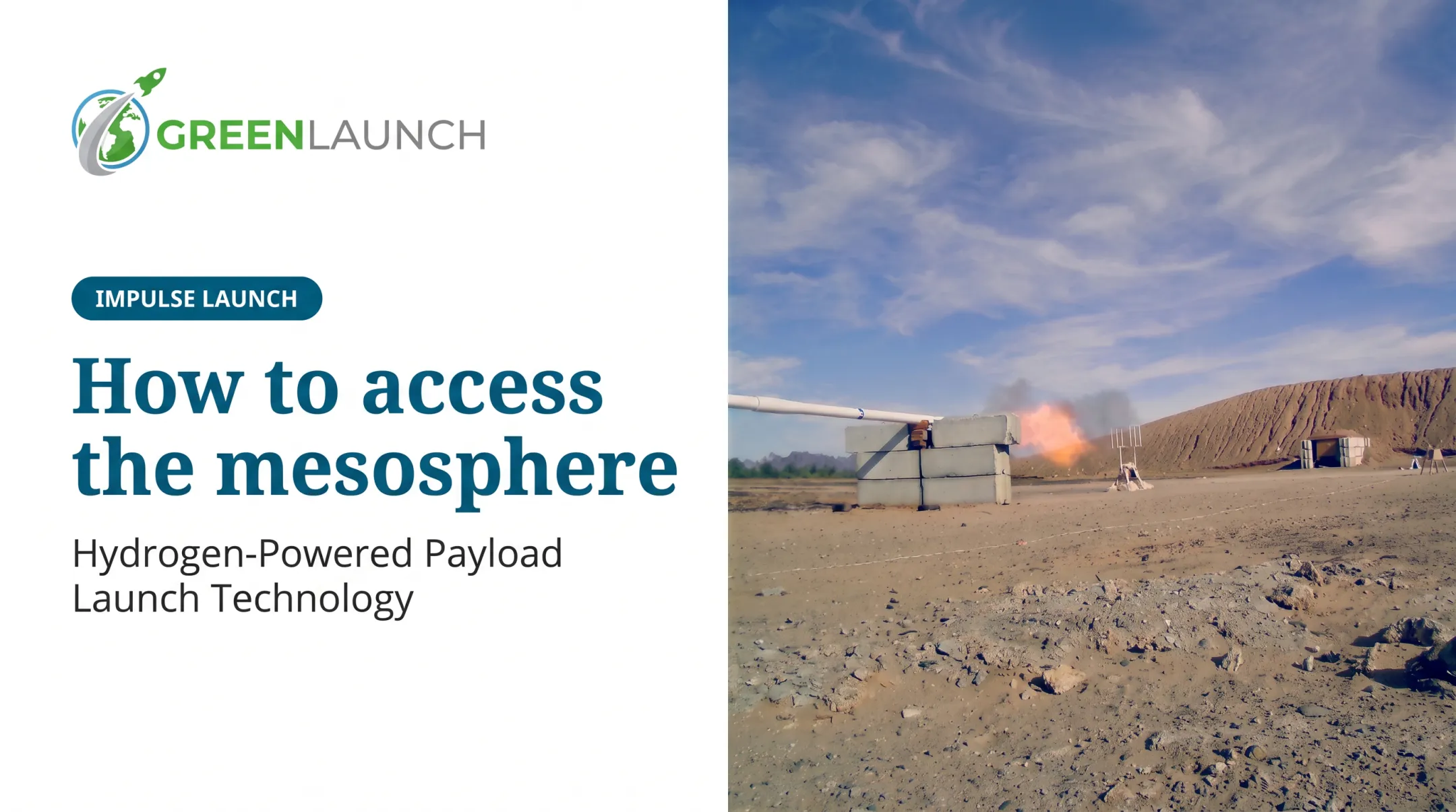
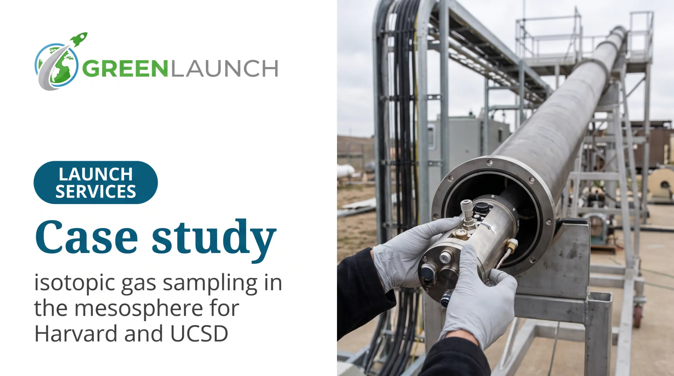
This is where sub-orbital delivery methods matter. Green Launch has focused its hydrogen light-gas launch technology on getting instrumented payloads through this altitude band quickly and repeatedly. The company's atmospheric sampling work for the mesosphere, developed with the National Science Foundation as a near-term customer, used a specialized wound-fiberglass vehicle body. The design kept the vehicle lightweight and strong under launch compression, and transparent to radio frequency so an antenna could transmit data from inside the structure.

That kind of rapid, repeatable sub-orbital access is exactly what distributed sensor networks and photophoretic probes will eventually need alongside them. None of these approaches replace rockets, satellites, or ground radar outright. They're additions to a toolkit that's still being built.
Why Does Studying the Mesosphere Matter?
Better mesospheric data isn't an academic nicety. It feeds directly into meteor science, climate modeling, and the practical business of operating near space.
Meteor chemistry. Most meteors ablate, meaning they heat and vaporize, right in this layer, releasing metal atoms like iron, magnesium, and sodium into the atmosphere. Measuring density, temperature, and chemistry here helps researchers understand how that incoming material behaves and disperses.
Atmospheric waves. Gravity waves and atmospheric tides carry energy and momentum upward from the lower atmosphere into the mesosphere. Uncertainty in how much energy actually transfers—with error margins in current data sometimes estimated at 50 to 70%—limits the accuracy of atmospheric and climate models built on top of it.
Noctilucent clouds and climate signals. These ice clouds form near the summer polar mesopause and have drawn attention for changes in brightness and frequency tied to atmospheric water vapor and temperature shifts. They're a visible, trackable proxy for conditions researchers can't otherwise observe directly.
The same gaps show up in operations, not just theory:
- Radio propagation, particularly VLF and LF signals, is sensitive to electron density changes in the upper mesosphere.
- Space-weather forecasting depends on understanding how energy moves through this layer into the thermosphere and ionosphere above.
- Mission planners designing future atmospheric research or hypersonic test flights need reliable density and temperature data for this exact altitude band.

The mesosphere isn't a place people live or work day to day. But it is the connective tissue between weather, climate, and space physics. Sparse measurements here weaken climate models, space-weather forecasts, and hypersonic flight planning more than the "ignorosphere" nickname implies.
Frequently Asked Questions
Why is the mesosphere called the ignorosphere?
The nickname reflects how little continuous, direct observation this layer gets. It's too high for aircraft and balloons, and too low for routine satellite access, leaving persistent gaps in the data.
How high is the mesosphere?
Most sources, including NOAA, place it at roughly 50 to 85 kilometers (about 31 to 53 miles) above sea level. Exact boundaries shift slightly depending on the atmospheric definition used.
Why is the mesosphere difficult to study?
Air is too thin for aircraft lift or balloon buoyancy, satellites orbit above it rather than within it, and sounding rockets only offer brief flight windows through the layer.
What happens in the mesosphere?
Meteors ablate and burn up here, and temperatures hit some of the atmosphere's coldest points. Atmospheric waves ripple through the layer, and noctilucent clouds form near its upper boundary.
Can satellites or balloons reach the mesosphere?
Satellites generally observe it from above rather than operating within it, since low orbits face too much drag. Balloons and aircraft top out well below sustained mesospheric altitudes.
How could scientists study the mesosphere in the future?
Improved satellite instruments, coordinated radar and lidar networks, more frequent sounding rocket flights, and experimental platforms like photophoretic microprobes should gradually close the observation gap.